
National Parks Road Trip: Planning a Route Across the American West
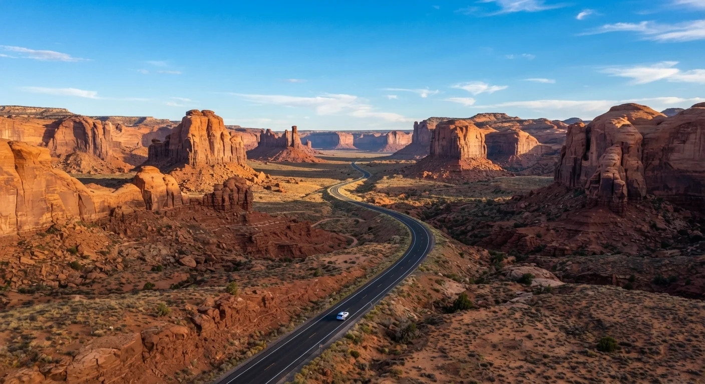
Photo credit: ArticlesHaven.net
In this article
From Zion to Yellowstone, learn how to sequence a multi-park road trip across the West based on season, drive time, and park character.
Key Takeaways
- Sequencing parks by geography and season reduces backtracking and weather surprises.
- A realistic western road trip spans 10-21 days and covers 1,500-3,000 miles depending on park selection.
- Peak summer crowds at major parks can significantly affect parking, trail access, and reservation availability.
- Entry passes, timed permits, and campground reservations often require booking weeks or months ahead.
- Drive times between parks vary widely - some corridors are 2 hours, others 6 or more.
- Budget for park fees, fuel, lodging, and food separately, as costs compound quickly across multiple parks.
Choosing Which Parks to Include
The American West holds dozens of national parks, but trying to hit them all in one trip is a recipe for exhaustion. A more useful approach is to group parks by geography and choose a corridor that matches your available time and travel interests.
Three natural corridors dominate most western road trips:
- The Southwest Loop: Zion, Bryce Canyon, Capitol Reef, Canyonlands, and Arches - all within a few hours of each other in Utah and northern Arizona. Add the Grand Canyon if you're willing to dip south.
- The California Coast and Sierra: Redwood, Crater Lake (just over the Oregon border), Lassen Volcanic, Yosemite, Kings Canyon, and Sequoia form a rough north-to-south arc.
- The Northern Rockies: Yellowstone and Grand Teton anchor this route, with Glacier to the north and Rocky Mountain National Park to the southeast if you want to extend into Colorado.
Combining corridors is possible - for example, linking the Southwest Loop to the Northern Rockies - but adds significant drive time. For a first-timer, choosing one corridor and doing it well is generally more satisfying than rushing through three.
For a broader look at trip structure, see the road trip planning walkthrough for general logistics from routing to vehicle prep.
What you will need
Timing Your Route Around Season and Crowds
Season is the single biggest variable in a western parks trip. Each corridor has a different window when conditions are genuinely favorable.
Spring and Fall Are Usually the Sweet Spot
For most western parks, the shoulder seasons offer a noticeably better experience than peak summer. Temperatures are more manageable, trailhead parking is accessible, and the quality of light for photography is generally superior. The trade-off is occasional unpredictable weather - pack layers regardless of month.
Southwest Utah (Zion, Bryce, Arches): Spring (April-May) and fall (September-October) offer the most comfortable temperatures and thinner crowds. Summers are extremely hot at lower elevations, and Zion's shuttle system becomes overwhelmed. Bryce Canyon sits at higher elevation and can snow into May.
Yosemite and the Sierra: Valley access is year-round, but high-elevation roads like Tioga Pass close from roughly November through late May. Peak summer (July-August) means Yosemite Valley requires advance reservations for day entry on some dates. Early June and October tend to be the sweet spot.
Yellowstone and Grand Teton: The park is open year-round but roads close from November to April. Late May through early July and September are often the most rewarding windows - wildlife is active, wildflowers bloom, and the most intense August crush has either not started or just ended.
Glacier National Park, if included, operates best from mid-July through mid-September. The Going-to-the-Sun Road, which bisects the park, typically isn't fully open until early July.
Verify Entry Requirements Before You Go
Timed entry permits, vehicle reservations, and shuttle-only access policies change from year to year at several major parks. Always verify current requirements directly on NPS.gov or Recreation.gov before finalizing dates. Conditions reported on travel blogs or forums may be outdated by the time you travel.
Building Your Day-by-Day Itinerary
Once you've settled on a corridor and a season, the next task is assigning days to each park and building in realistic drive time. Most travelers underestimate both.
Pick one corridor and anchor it with 2-3 signature parks
Resist the urge to plan a grand tour. Choose a geographic corridor - Southwest Utah, Sierra Nevada, or Northern Rockies - and identify the two or three parks that most appeal to you within it. Build everything else around those anchors.
Assign a minimum of two full days per major park
One day per park is rarely enough to do more than scratch the surface. Budget at least two days for any park you've specifically targeted, and factor in a partial day of arrival and departure travel on either side.
Map the drive times between each park honestly
Use a mapping tool to check actual drive times between each park, not just mileage. Mountain and canyon roads often mean 45-55 mph average speeds. A 200-mile leg can take 4-5 hours. Build buffer time for fuel stops, roadside wildlife, and the unexpected.
Book accommodations and permits before you finalize the route
Check Recreation.gov and each park's NPS page for campsite availability and timed entry permits before locking in your exact dates. If the park you planned to visit in week one has no lodging or permit availability, you may need to swap the sequence rather than the destination.
Plan your route direction based on season and elevation
In spring, travel south-to-north so you arrive at higher-elevation parks (Glacier, Bryce) after snow has cleared. In fall, travel north-to-south ahead of the season turning. This also tends to put you ahead of crowd waves that concentrate around the same holiday weekends.
Build in one unscheduled day per week of travel
Weather, trail closures, vehicle issues, and simple exhaustion are all real. A blank day mid-trip lets you extend a stay somewhere unexpectedly great or recover from something that went wrong without the entire itinerary unraveling.
If you're planning a couples' trip or considering adding a non-park destination, some national park gateway towns - Moab, Jackson Hole, Sedona just outside park boundaries - offer distinctly different character. The guide to US romantic getaways covers several of these western destinations in more depth.
For travelers curious about extending a western route into the Pacific Northwest, what each part of the Pacific Northwest offers can help you evaluate whether Oregon or Washington is worth adding as a leg.
If the main parks feel too crowded for your style, underrated US road trip routes highlights corridors with comparable scenery and far fewer visitors. All of this trip infrastructure sits under the broader trip planning tips hub if you want to explore related logistics.
Check Road and Weather Conditions in Real Time
Mountain and desert road conditions can change rapidly due to flash floods, rockfall, or sudden snow. Before entering any park, check the park's official NPS alerts page and call the park visitor center if you have concerns. Do not rely solely on a GPS app for road status - some closures are not reflected in real-time mapping data.

Author
Articles Haven Editorial Contributor
Articles Haven Editorial Team is the collective byline for our editorial team and contributor network. Articles published under this byline or an editorial pen name are researched, written, and reviewed according to our editorial standards for clarity, consistency, and independence before publication.
View all articles →